top of page

Terrain Algorithms and Products
Anaglyph / Stereoscopic Imagery
When a pair of satellite images have been properly Epipolar Rectified, the images can be registered and combined to create an anaglyph / stereoscopic image.

StockyardRight

StockyardLeft

StockyardRight
1/2
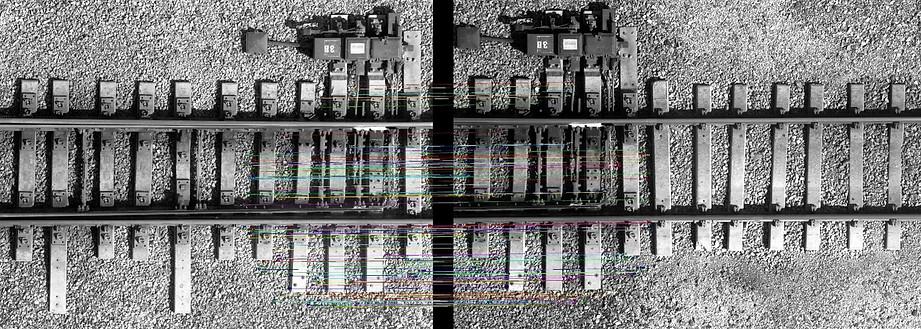
Sequential drone images can also be registered using localized feature analysis and epipolar rectified to make stereoscopic views.

Other Anaglyph Examples
_Fixed.png)
Mine Stockyard
_Fixed.png)
Mine Pit

Railroad Track

Access Road
bottom of page